Sunday, 19th March 2017
| Walk: | Oddies Lane, Scar End, Ewes Top, Chapel-le-Dale, Twisleton Scars, Chapel-le-Dale, Roman Road | ||
| Start Point: | Ingleton | Grid Reference: | SD 694 730 |
| Distance: | 10 miles | Ascent: | 1,740 feet |
| Time: | 4 hours | ||
| Weather: | Wet, windy and misty!!! | ||
| Comments: | Four intrepid members joined the leader on a day that was forecast to be rather wet! Our hopes were high as we left the car park but it wasn't long before the rain set in. Forunately the wind was at our backs and the rain wasn't heavy so the walking was quite enjoyable despite the fact that we couldn't see very far. Being a limestone area the terrain was reasonable and the impromptu streams were easy to navigate. The chapel in Chapel-le-Dale provided the perfect place for lunch - comfortable seats, shelter from the wind and rain and a roof over our heads! What more could you wish for? Only 3 photos were taken on the day but below are a selection from the recce last September. |
||
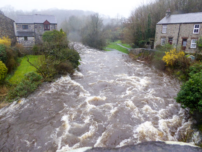
Looking upstream as we cross the River Doe . . .
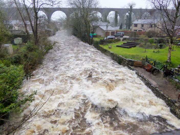
and downstream where it becomes the River Greta after it joins the River Twiss . . .

and the same shot 4 hours later as we return to the cars
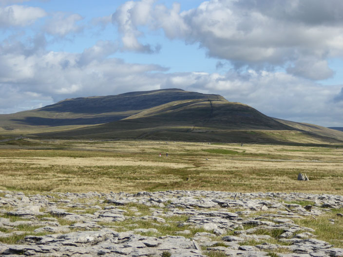
Whernside

Sink hole
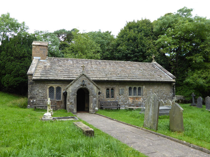
St Leonard's Church, Chapel-le-Dale . . .
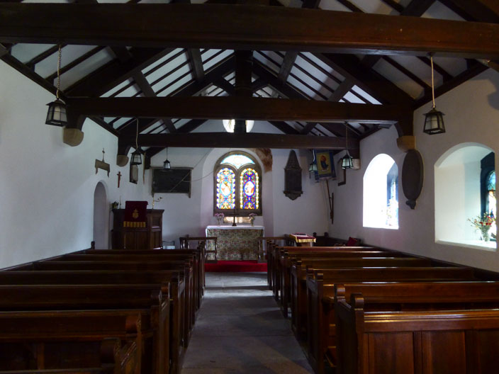
and our lunch time 'view' . . .
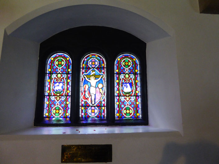
to the east