Sunday, 11th June 2017
| Walk: | River Ure, Nappa Mill, Westend Farm, Woodhall, Askrigg Moor, Carperby Moor, Windgate Greets | ||
| Start Point: | Askrigg Square | Grid Reference: | SD 950 912 |
| Distance: | 8 miles | Ascent: | 1,080 feet |
| Time: | 5.5 hours | ||
| Weather: | A dry morning remaining for the rest of walk. Windy on the Tops. | ||
| Comments: | 10 walkers set out from the Square and Butter Cross outside St Oswalds church in the centre of Askrigg following the sign for Worton Bridge. We followed a path running alongside the River Ure up to Nappa Mill. Then taking the disused railway section on to Westend Farm, this railway run from Leyburn to Askrigg opened in 1877 and closed in 1954. We stopped for coffee on the old track bed of the Wensleydale railway. On passing through the village of Woodhall, we started our ascent up the open Askrigg Moor taking lunch at a point on Carperby Moor and a shelter from the now strong winds. Onwards after lunch we set our line over the moor to follow a well defined path through heather and an abundance of shooting butts. We also passed an area of Beldon Peat moor where remains of peat excavations could be clearly defined. Once over the moorland terrain we eventually reached an intersection of moorland tarmac road at Windgate Greets on the Reeth to Askrigg road. We were now on our way back into Askrigg following this downhill road all the way back into the village, a great days walking with fantastic views of Wensleydale | ||
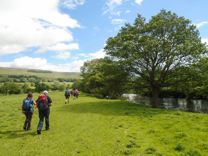
Starting out following the River Ure

Reflections
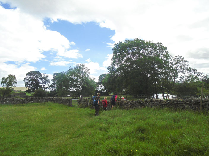
One of the gated stiles

River Ure, Ingleborough in the distance
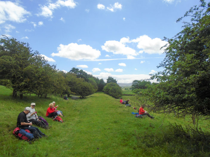
Coffee stop

Passing through WoodHall
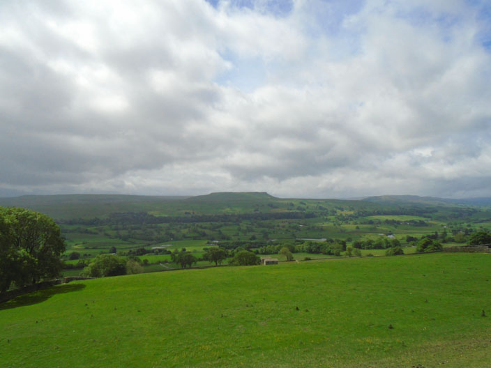
Ingleborough from the Moors
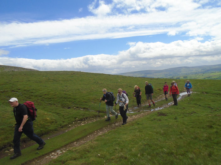
Climbing up Beldhow Hill
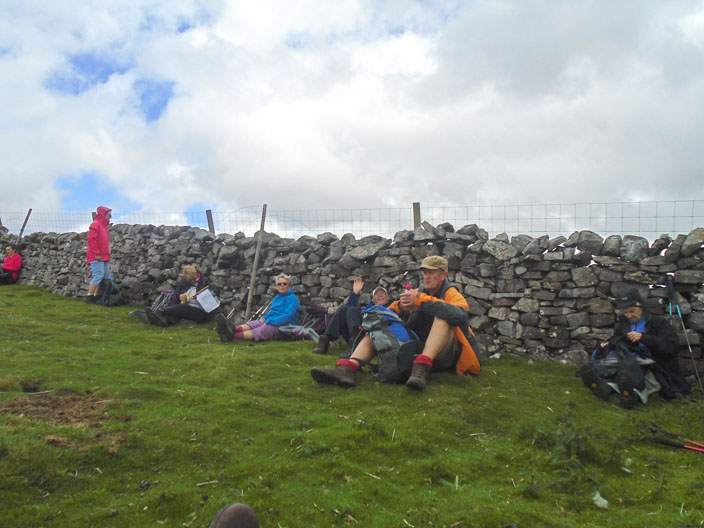
Lunch stop
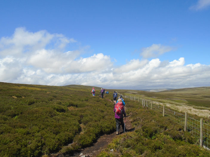
The Moorland terrain

Beldon Peat Moor
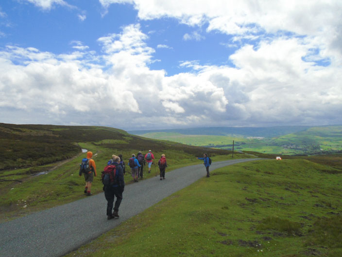
Joining the Askrigg road

Frank's seat
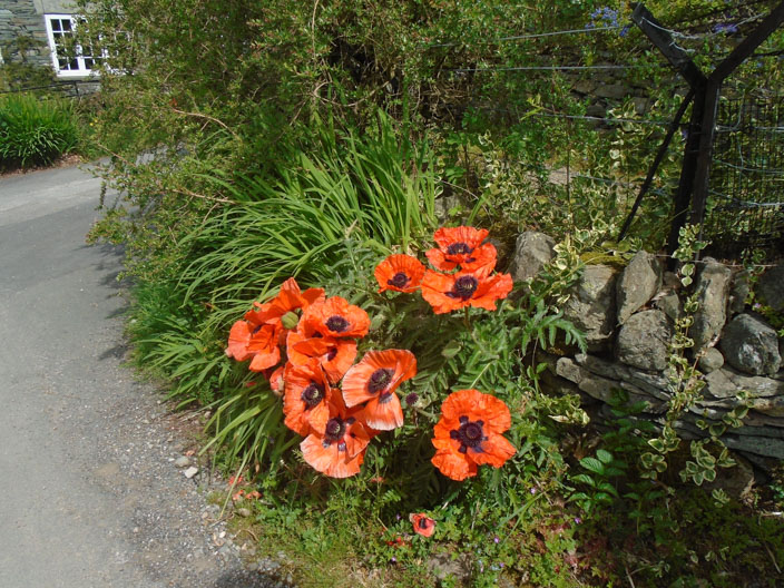
Some Bloomers
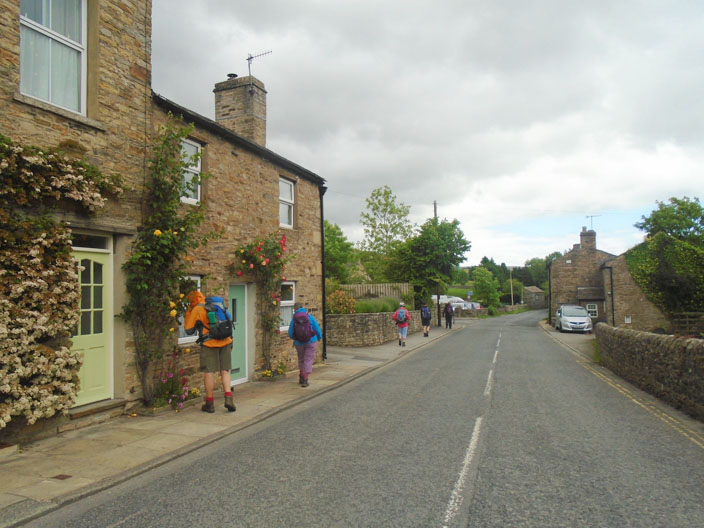
Back to car park to finish the walk