Wednesday, 23rd March 2016
| Walk: | Tootle Height, Nook Fold, Written Stone Lane, Cottam House Farm, Knowle Green Road, Springs Farm, Buckley Hall, Buckley Gate, B6245, Elm House return to pub along road. | ||
| Start Point: | Corporation Arms | Grid Reference: | SD 618 373 |
| Distance: | 5 miles | Ascent: | 300 feet |
| Time: | 3 hours | ||
| Weather: | Fine but cloudy and dull | ||
| Comments: | A good walk enjoyed by 28 people. A varied walk mainly along tracks and field paths and along a pretty wooded valley from Knowle Green alongside Page Brook. |
||

A view of Spade Mill Reservoirs from Tootle Height

Tootling along at Tootle Height
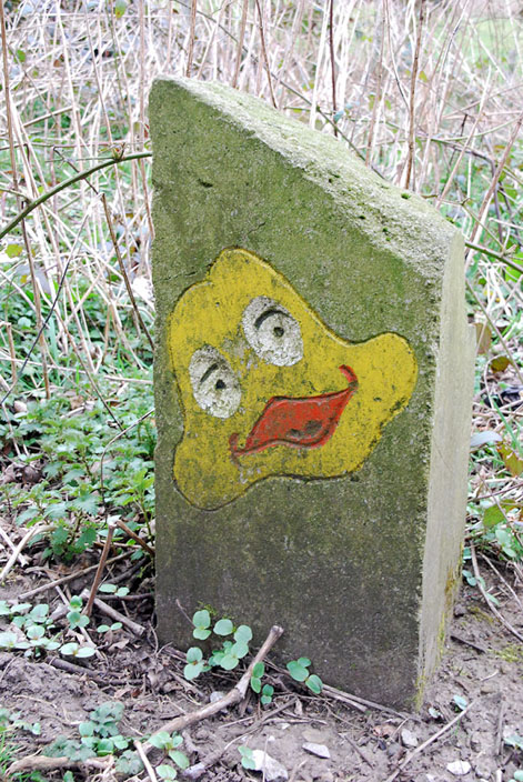
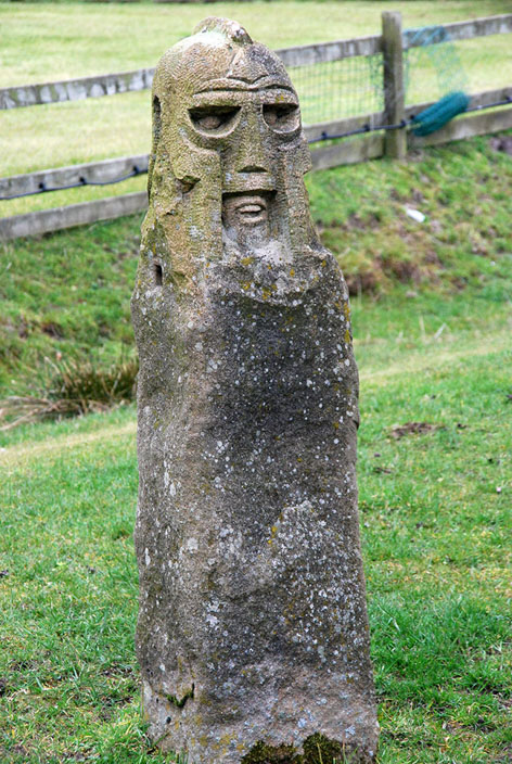
One of several wayside images on display at Toole Height

A former quarry at Tootle Height - Sandstone from this quarry was used on several important Preston buildings including the Harris Library and St Walbrges Church
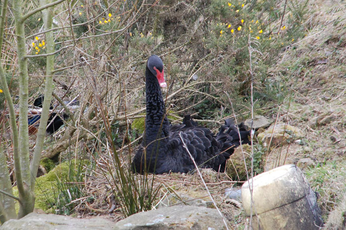
A black swan

Lots of bottoms hiding -----
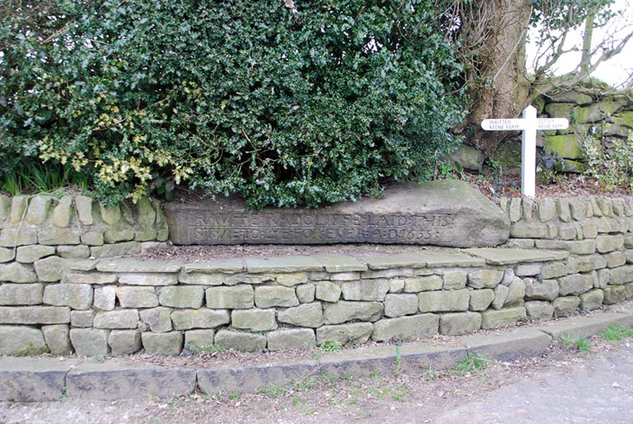
the Written Stone - more information on the internet

Knowle Green next stop

Not a member of the group but one of two Gargoyles set into a gable of a cottage adjacent to Cowley Brook

Cowley Brook at Dilworth Bottoms

A country residence
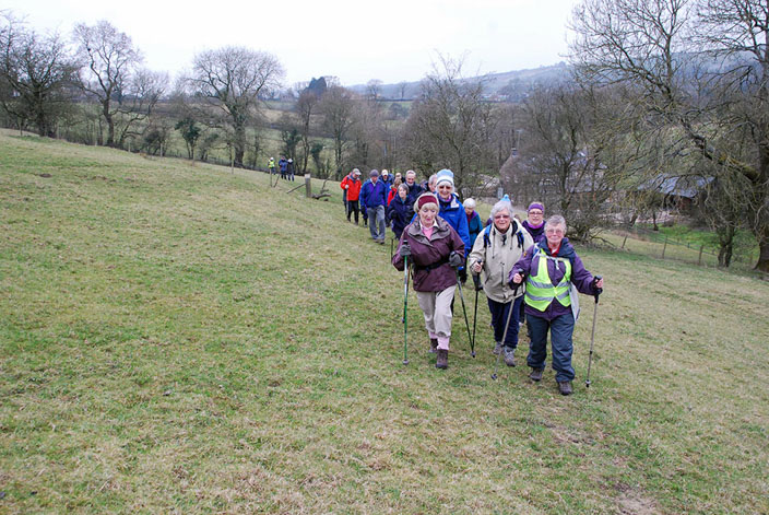
The leader - left - in action on a slight incline

A reminder that ---
the Romans ---

once roamed these parts - BREMETENNACVM or Ribchester to you and me