Sunday, 14th September 2014
| Walk: | Hebden Bridge, Crow Hill Nook, High Brow Knoll, Warley Moor Reservoir, Rocking Stone, Calderdale Way, Hebden Bridge | ||
| Start Point: | Hebden Bridge | Grid Reference: | SD 989 291 |
| Distance: | 14 miles | Ascent: | 3,00o feet |
| Time: | 7 hours | ||
| Weather: | Overcast but dry with cool breezes on the tops | ||
| Comments: | This was a varied walk taking in rocky paths through Hardcastle Crags, followed by moorland tracks and paths to grassy fields. The final stretch of the walk took us on through fields to the small hamlet of Shackleton, unfortunately it is very poorly way marked and needed the use of maps, GPS and luck to find the correct path. Seven people attended the walk and all returned safely. | ||
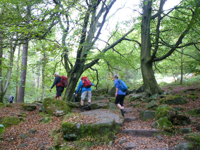
Making our way through Hebden Dale . . .
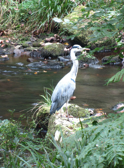
where a heron looks for its dinner

One of the many crossing points . . .
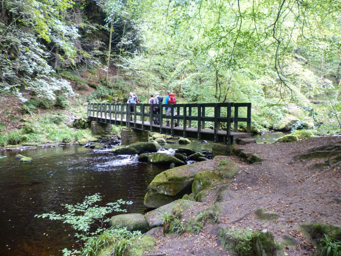
over Hebden Water

Gibson Mill, a 19th century former cotton-spinning and weaving mill
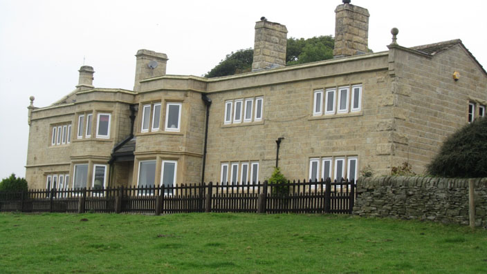
A small country pile
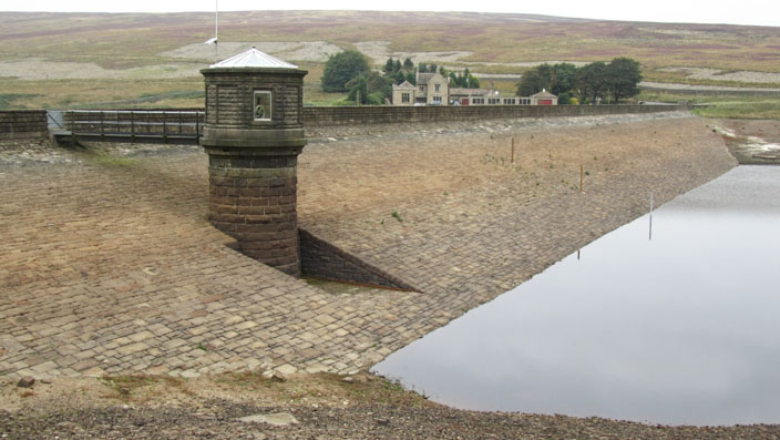
Where has all the water gone?
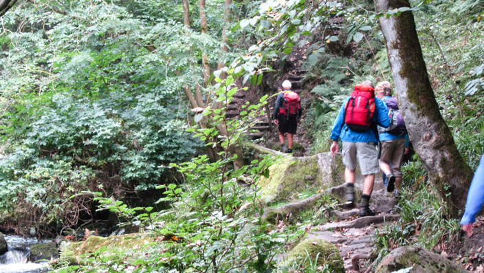
What, more steps!
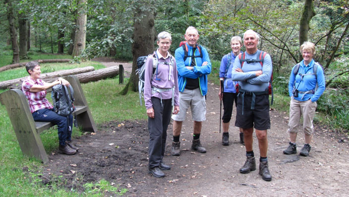
A happy, smiling group
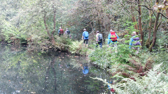
Disappearing into the jungle

Top Withins
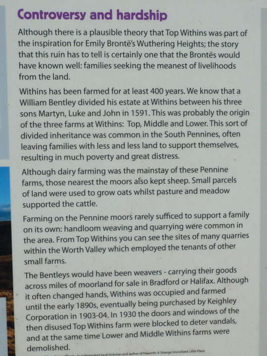
It must have been a hard life
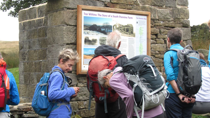
A local history lesson

Continuing through the heather before . . .

finding the perfect spot for lunch . . .
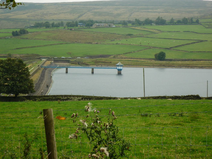
overlooking Leeshaw Reservoir
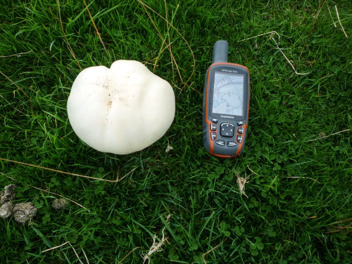
A large fungus

Returning through Foul Scout Wood