Sunday July 6th 2014
| Walk: | The Long Mynd, Pole Bank Topograph & Trig Point 516 mtrs | ||
| Start Point: | Church Stretton coach park | Grid Reference: | SO 456 936 |
| Distance: | 10.3 miles | Ascent: | 1,550 feet |
| Time: | 5.5 hours | ||
| Weather: | Bright and sunny | ||
| Comments: | From the coach near the station we headed for Little Stretton before starting the steady climb through the rolling hills to reach the Long Mynd with lunch taken at Pole Cottage. A tin shed now! At Pole Bank the Topograph was able to put the wonderful views into context, right into Wales. Following the Shropshire Way along the Mynd we reached a cattle grid to descend a broad grass track down to Woodnall and the return to the Church Stretton. | ||

Climbing up from Little Stretton

Lunch at Pole Cottage

Group at Pole Bank studying the topography
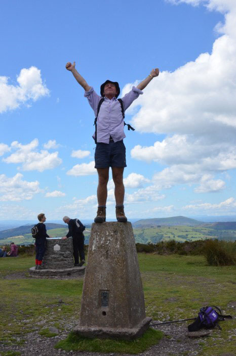
Ross - 'Angel of the Mynd'

It's downhill now
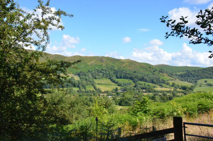
Return to Church Stretton