|
Wednesday, 22nd January 2014
| Walk: |
Farleton Fell, Newbiggin, Lupton, Peasey Bridge and
Longcroft |
| Start Point: |
Lay bye A65 |
Grid Reference: |
SD 538 825 |
| Distance: |
8.2 miles |
Ascent: |
1,200 feet |
| Time: |
5.5 hours |
|
|
| Weather: |
Rain on and off with an odd
glimpse of the sun |
| Comments: |
Twenty five people took part in this
damp and muddy walk. First heading for, and ascending Farleton Fell
the group followed a steep(ish) path in order to see the landscape
below them. Dropping down in to Newbiggin the group then followed
narrow country lanes in the vicinity of Lupton before following
field paths to pass under the M6 motorway to reach Peasey Bridge.
From Peasey Bridge the last leg of the walk was via severed
stretches of the Lancaster Canal returning to the start point, where
the group arrived a little muddy and tired. Unfortunately, recent
heavy rains had caused many fields to become waterlogged. In drier
conditions this is good walk offering many varied views. |
Scroll down to see photos of the walk

A good start - no step and plenty of mud

Farleton Beck in full spate

Probably unreadable in summer
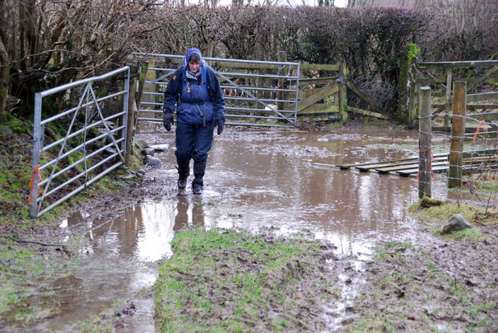
Paddling

The ascent of Farleton Fell

Same place - different faces
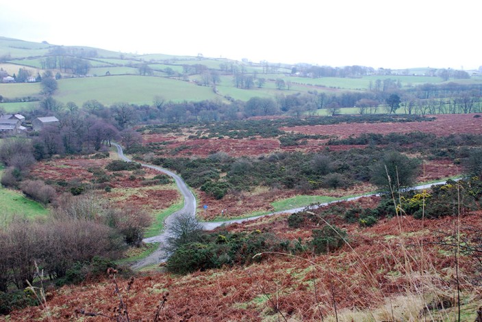
A view half way up

Keeping warm and dry at Newbiggin . . .
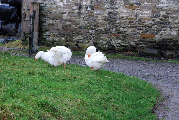
where the geese see to their preening

Turn left here for Lupton

Nosey aren't they

Coming up to lambing time

This is not a canal, it's a challenging farm track
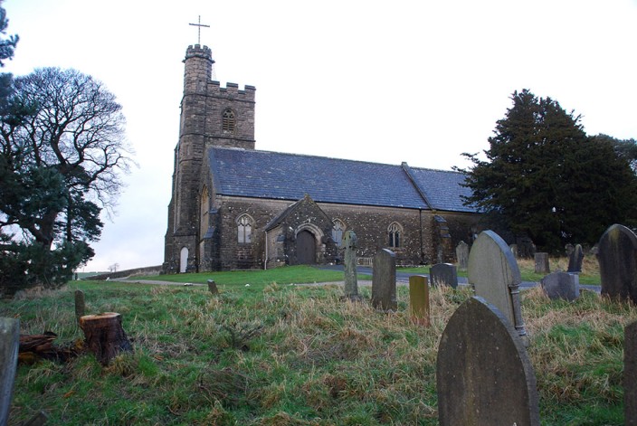
A church near to St Gregory's Hill
Return to 2014 Diary
Return to top
|