|
Wednesday, 10th July 2013
| Walk: |
Clowbridge Reservoir, Compton’s Cross, Rossendale
Way, Pennine Bridleway, Lumb, Higher Walls, Wheat Head, The Height,
Crawshawbooth, Bottomley Bank, Meadow Head, Gambleside |
| Start Point: |
Limey Lane, Dunnockshaw |
Grid Reference: |
SD 830 287 |
| Distance: |
8.4 miles |
Ascent: |
1,330 feet |
| Time: |
4.5 hours |
|
|
| Weather: |
Humid. Dry. Overcast in the
morning but brighter in the afternoon. |
| Comments: |
15 walkers with Christine standing in as
leader for John. (It was as well that we had done 3 reccies!!). One
of the reasons for doing three reccies was the difficulty we had
finding the path down to Gambleside from Meadow Head. It is very
clear on the South Pennines Explorer Map, but not so clear on the
ground, whatever the season! A further reason for additional
recciing arose because of the temporary closure of the footpath
between Bottomley Bank Lane and Goodshaw Lane (FP 337).
There were interesting community relics in Gambleside explained by
excellent information boards. We’ve included some reccie photos to
show the seasonal contrasts....and because the photographer was in
leading mode! Thanks to DS for other photos. |
Scroll down to see photos of the walk
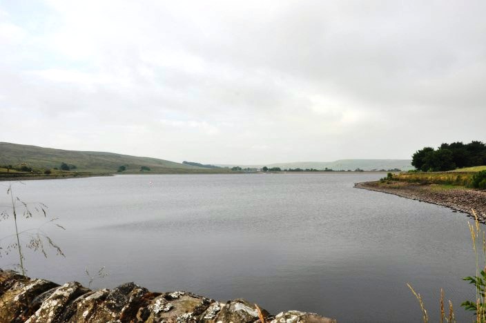
We started walking past Clowbridge Reservoir

Compton's Cross
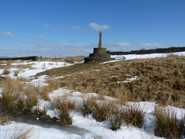
Compton's Cross First Recce 29th March

First recce on the Rossendale Way

Descending towards Lumb

A farmer's home brew
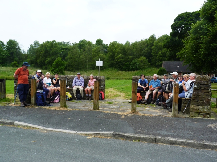
Coffee break by the Lumb Millennium Green

Walking past Lumb Church on the first recce

Looking across to Goodshaw on the second recce, 4th April

Lunch above Bottomley Bank

Clowbridge Reservoir came into sight as we descended from Meadow Head
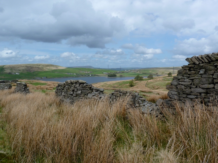
Recce 3 dropping down to Gambleside and Clowbridge Reservoir

First recce Gambleside Baptistry

First recce, water feeding into Clowbridge reservoir
Return to 2013 Diary
Return to top
|