|
Sunday, 14th April 2013
| Walk: |
Harter Fell |
| Start Point: |
Birks Bridge car park |
Grid Reference: |
SD 235 995 |
| Distance: |
7 miles |
Ascent: |
1,300 feet |
| Time: |
5.5 hours |
|
|
| Weather: |
Rain , heavy at times with
strong winds at summit, improved after lunch becoming dry and mild.
Visibility poor on summit |
| Comments: |
Six mad ramblers joined the leader on
today's expedition. Given the weather conditions and poor forecast
the planned route may need to change but let's go anyway. Our first
target was Harter Fell which was ascended from the south side, a
climb made more difficult by the rain and strong winds as we neared
the summit. Visibility was poor and having navigated to the top our
leader got a bit lost walking round the summit area. Finally a
recognisable landmark was found in the form of a broken wall which
allowed the group to follow a safe route off the fell. Brief
discussion after assessing the wet ground conditions and poor
visibility which would be encountered if we sought a route to Green
Crag determined that this would be abandoned and we picked up the
route down Grass Guards Gill. After a brief lunch our route was
diverted whilst swollen gills were crossed and off route tracks were
made through the edge of the plantations. Following Grass Guards
Gill to the confluence with River Duddon the 'Fickle Steps' Stepping
stone crossing was as expected underwater and un-passable in the
flood conditions. We followed the river bank path back to Birks
crossing Wet Gill the final obstacle of the day |
Scroll down to see photos of the walk

A wet start

Harter Fell - wet and windswept . . .
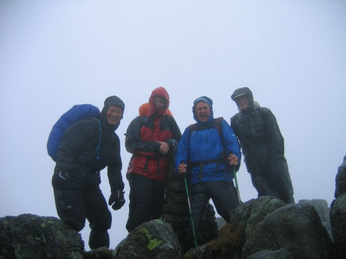
but - still smiling

Lunch by Grassguards Gill - weather improving
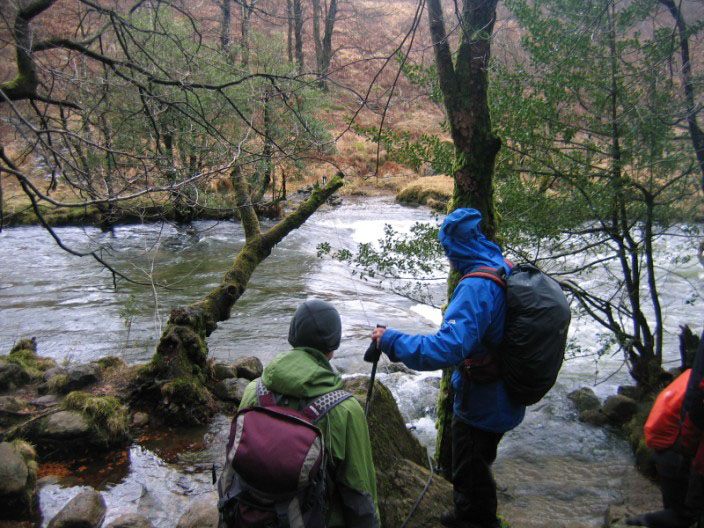
Fickle steps????????

Lesley suggests a possible solution!

Crossing of another 'Wet Gill'

What's all the attraction?

River Duddon rapids

This is what we should have seen - 7 days before . . .

and again . . .

and again - Green Crag for another day!
Return to 2013 Diary
Return to top
|