|
Sunday, 26th February 2012
| Walk: |
Troutbeck Tongue & Sour
Howes |
| Start Point: |
Church Bridge, Troutbeck |
Grid Reference: |
NY 412 027 |
| Distance: |
10 miles |
Ascent: |
2,350 feet |
| Time: |
6 hours |
|
|
| Weather: |
Mist and drizzle apart from
the beginning and end of the walk |
| Comments: |
10 eager ramblers joined our novice
leader on today's walk from Troutbeck. The early morning greeted us
with typical Lakeland views, low cloud and little sign of the high
peaks which lay hidden above us. The mountain weatherman forecast
low cloud and mist at 500 metres descending to 300m as the day
progressed! Fortunately the walk was generally low level and
hopefully the morning cloud would clear and not descend. We headed
off in a northerly direction on good paths and farm roads towards
Troutbeck Park and the ascent to The Tongue where a quick view of
the valley was allowed before disappearing into the clouds. Early
tea was called as we descended to find a little shelter from the
mist and chill breeze. We then continued down into the valley where
we turned and headed south on the lower slopes of the eastern side
of valley below where the tops of Ill Bell and Yoke were shrouded in
cloud above. The route led us through disused quarries and over
flowing watercourses, paths followed where apparent and 'wild
walking' finally led us to lunch at Garburn Pass. Cloud level having
now got down to 400m. Who really wants to go to Sallows? No real
enthusiasm so a direct route was followed to Sour Howes and the
descending path back to Troutbeck. As we descended the views over
Windermere unfolded and the cloud cleared......................a
typical day in the Lakes? |
Scroll down to see photos of the walk

Is this the Wire (Wyre) Way?

Crossing Ing Bridge

Is this my best side?

Atmospheric scene at the head of the valley
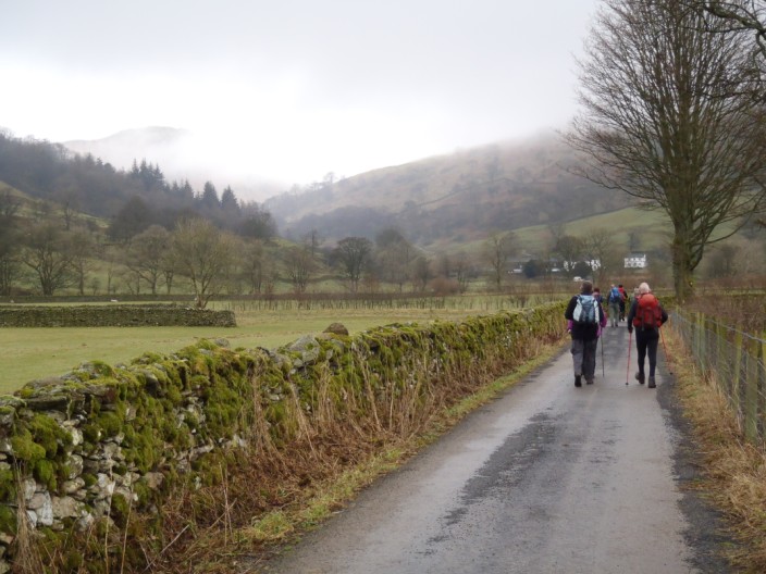
Easy walking here (but little did we know what treats Robb had in store later
on!!!)

John takes the high route
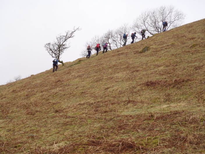
A steep initial climb leads to . . .

the perfect spot for a rest . . .

and to take in the views . . .
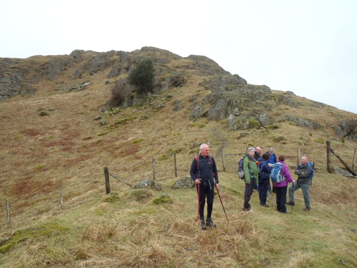
before tackling the last stretch . . .

to the summit . . .

just as the mist starts to close in
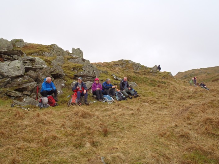
A sheltered spot for elevenses

On the lower flanks of Ill Bell we check out . . .
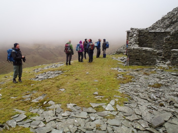
the disused mine buildings . . .
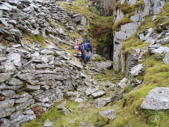
and explore . . .
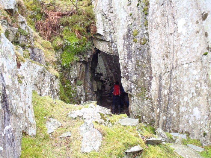
a tunnel . . .

hewn out of the rock

An angled view if the 'skylight' (left) and exit (right)
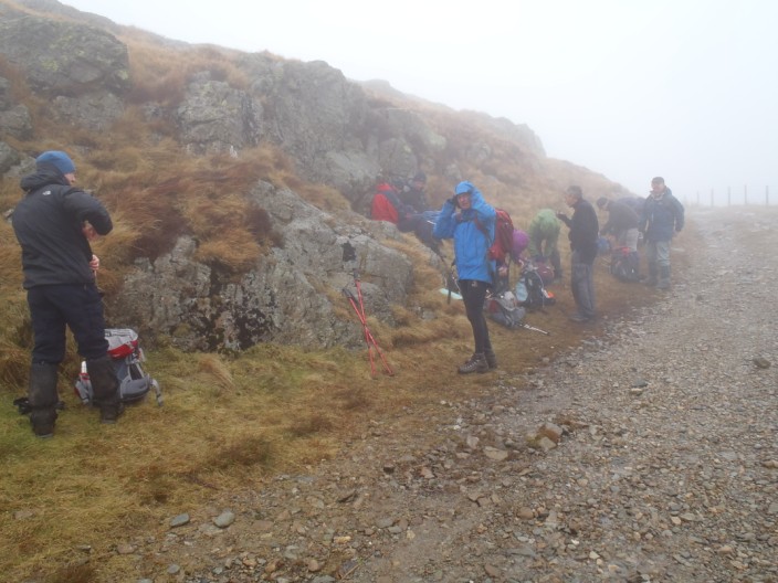
Lunch is taken at the Garburn Pass . . .

before continuing on to Sour Howes, still in mist
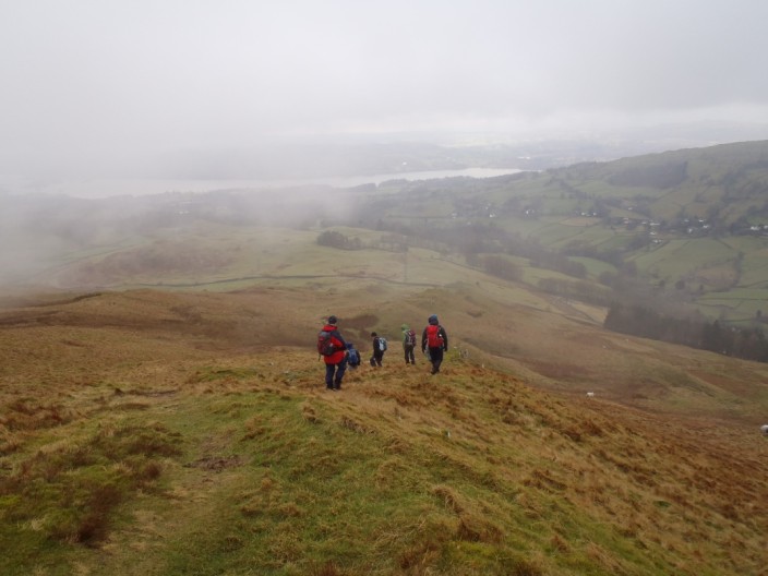
Typically, as we descend . . .

the mist clears to give views over Windermere . . .
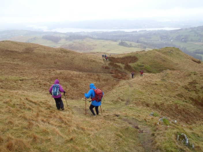
but there are a few 'undulations' . . .

on the rest of the descent
Return to 2012 Diary
Return to top
|