




| Walk: | Gatescarth Pass, Harter Fell, Nan Bield Pass, Mardale Ill Bell, High Street, Rampsgill Head, Kidsty Pike, High Raise and Haweswater | ||
| Start Point: | Haweswater car park | Grid Reference: | NY 468 108 |
| Distance: | 14.3 miles | Ascent: | 4,200 feet |
| Time: | 7 hours | ||
| Weather: | Sun to cloud , to drizzle to rain | ||
| Comments: | And didn't the weather man do
well. As forecast we started the walk in bright warm sunshine which
then turned to cloud followed by light drizzle and later rain. The
good views in the morning gradually disappeared late afternoon in
the low cloud over the tops. A good day was had by all. |
||
Scroll down to see photos of the walk

Mardale Head car park is looking quite empty . . .

as we prepare for 'the off'
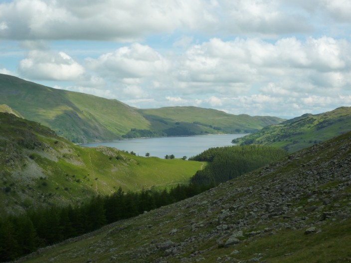
The sun is still shining . . .

as we head up to Gatescarth Pass

Nearly at the top of Harter Fell . . .
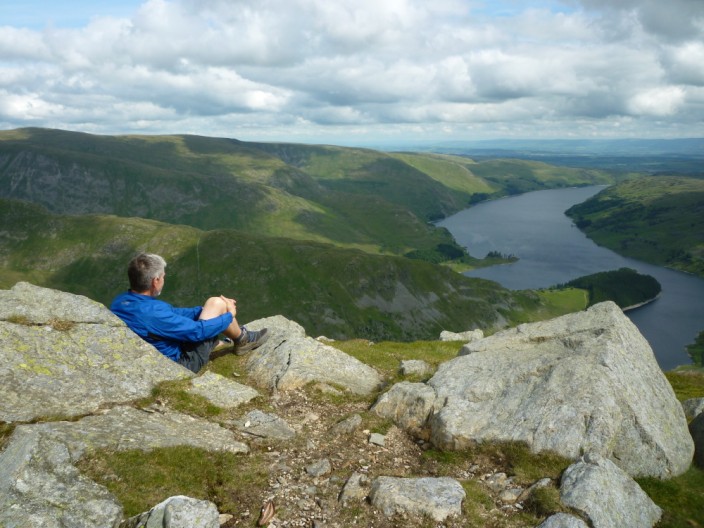
Ian tries out AW's pose - the only time he drew himself in his Guides

A sheltered spot with a good view of Haweswater for our coffee stop

Looking across Blea Water to Riggindale and Kidsty Pike
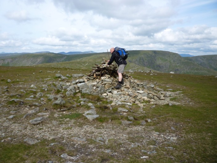
Robb 'bags' Harter Fell . . .

before we continue on our way

Kentmere Reservoir overlooked by Yoke and Ill Bell

Heading down to Nan Bield Pass . . .

with Small Water almost looking at the same elevation as Haweswater

The weather is beginning to change as we reach Mardale Ill Bell . . .

and John takes it easy on High Street
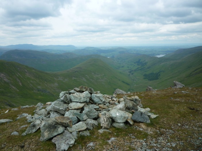
A short detour takes us to Rampsgill Head . . .
.jpg)
then it's on to Kidsty Pike where some short wave radio enthusiasts 'liier' the cairn

It's getting colder (and wetter) as we make a brief stop at High Raise

The Martindale Valley with The Nab on the left, Ullswater in the centre and the northern fells in the distance

A definite deterioration in the weather brought us off the hills a little early . . .
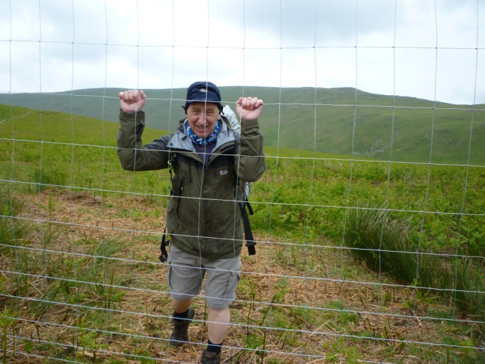
but will we have to leave Robb behind??!!
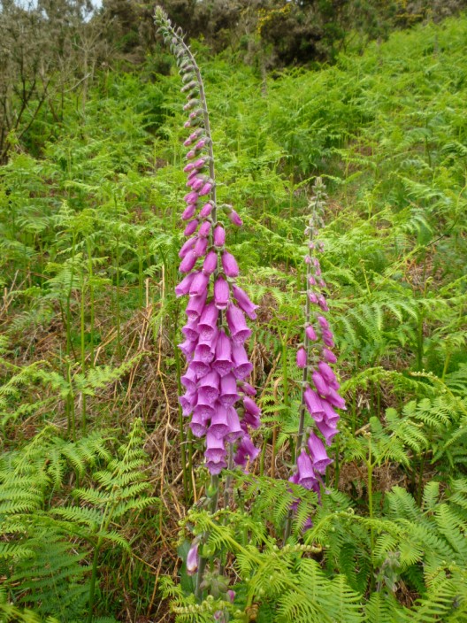
Foxgloves brighten the track . . .
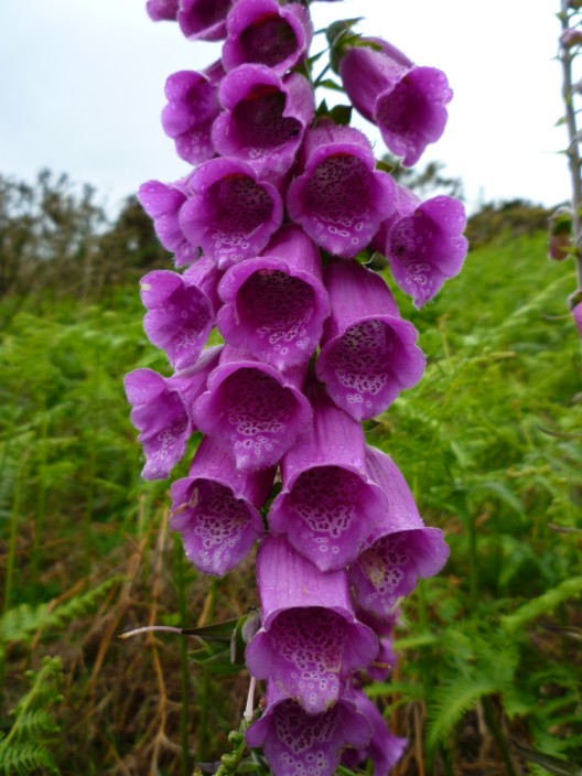
despite the continuing rain

We meet a few Coast-to-Coasters as we return . . .

along the Haweswater path