




| Walk: | Pendle Hill | ||
| Start Point: | Barley car park | Grid Reference: | SD 823 403 |
| Distance: | 8 miles | Ascent: | 1,600 feet |
| Time: | 5 hours | ||
| Weather: | Started rather dull but without the rain forecast, rather misty on top of Pendle with a little dampness in the air, improved as we descended and the sun put in the occasional appearance during the afternoon. | ||
| Comments: | Excellent starting venue, parking only £1, toilets and a small café for pre and post walk refreshments, and benches for changing your boots. We set off along the United Utilities road with a steady gain in height, past Upper & Lower Ogden Reservoirs until we reached Boar Clough. A short steep ascent soon turned into a steady climb up to the trig point on Pendle, where it was rather windy, as usual, misty and damp. After a quick photo shoot it was down to the shelter of a stone wall for a coffee stop. The descent was steeper than the ascent, and took us across Downham Moor to the old barn at Lane Head. We then headed East, with improving weather, passing Hecklin Farm, Ravens Holme and down to a steam near Brownlow Farm for lunch and almost a spot of sunbathing. The return was over farm fields to Lower Black Moss Reservoir and the short access track back to Barley. | ||
Scroll down to see photos of the walk
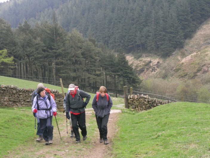
Along Ogden Clough
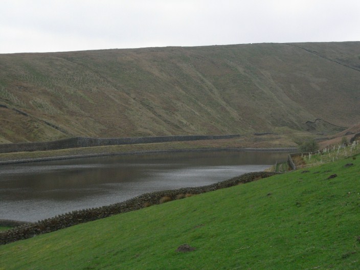
Upper Ogden reservoir
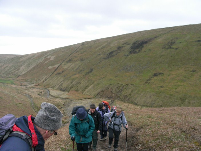
We start the climb to Big End, Pendle
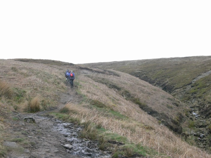
Climbing alongside Boar Clough
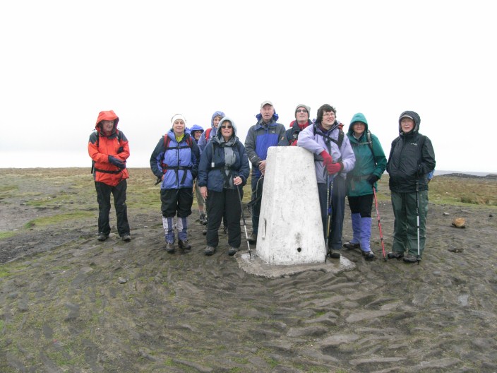
Pendle Big End trig point
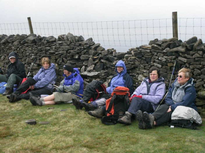
Coffee stop, sheltered behind a wall on Pendle

Sun shines near Ravens Holme

Pleasant stream . . .
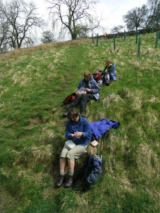
for a lunch stop